Jeffrey Moon & Associates provides a full suite of surveying services for residential, commercial and municipal applications. Here are some of our most frequently requested services.
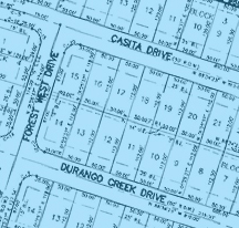
Subdivision Design & Platting
We research existing documents and perform physical surveys of the land to create a subdivision plat that maximizes value for you and complies with the regulatory requirements of cities and counties.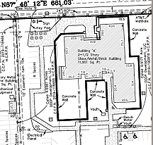
Commercial Development
We perform as-built surveys, boundary surveys, and ALTA surveys to accurately describe land being acquired and help you make informed decisions.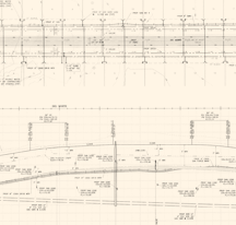
Public Works Projects
We perform numerous surveys for the civil design of roads, traffic flow, sanitary sewers, storm sewers and water lines.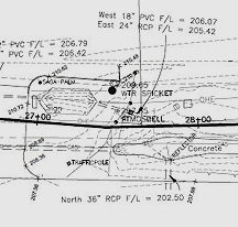
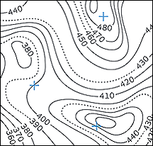
Route Surveys
Our surveys help you select the most feasible path for proposed road rights of way, utility easements and other projects by providing information about property boundaries, topography and the presence of physical items such as fences, bridges and other features along the route.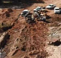
Construction Layouts
Before construction begins, our staking and site layout surveys help ensure success by accurately interpreting construction plans and marking out reference points. Our experience in construction layouts includes subdivisions, streets, utilities, commercial buildings and more.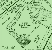
Residential Lots
Our residential surveys provide the precise information you need to establish legal records of boundaries, land placement, property lines and easements when you are selling or buying a home, building a fence or adding a pool or other property improvement.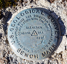
Elevation Certificates
We conduct research of your property and FEMA data to determine the flood zone type and Base Flood Elevation. Then we collect field and structure data, process all information and prepare a flood elevation certificate for you, your insurance provider, bank or FEMA.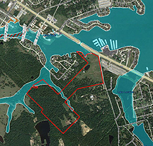
Flood Plain Surveys
We determine the flood zone type and Base Flood Elevation by researching your property and FEMA data. We provide all necessary surveys, forms and documentation for submittal to FEMA for LOMRs, LOMR-Fs and LOMAs.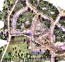
Drone Surveys
We offer drone services to perform large-scale aerial topography surveys, volume calculations, floodplain mapping, forestry surveys and 3D modeling. Drones provide elevation data, ortho-rectified photos and horizontal measurements which are then interpreted by our surveying team to complete many projects faster, safer and more economically.